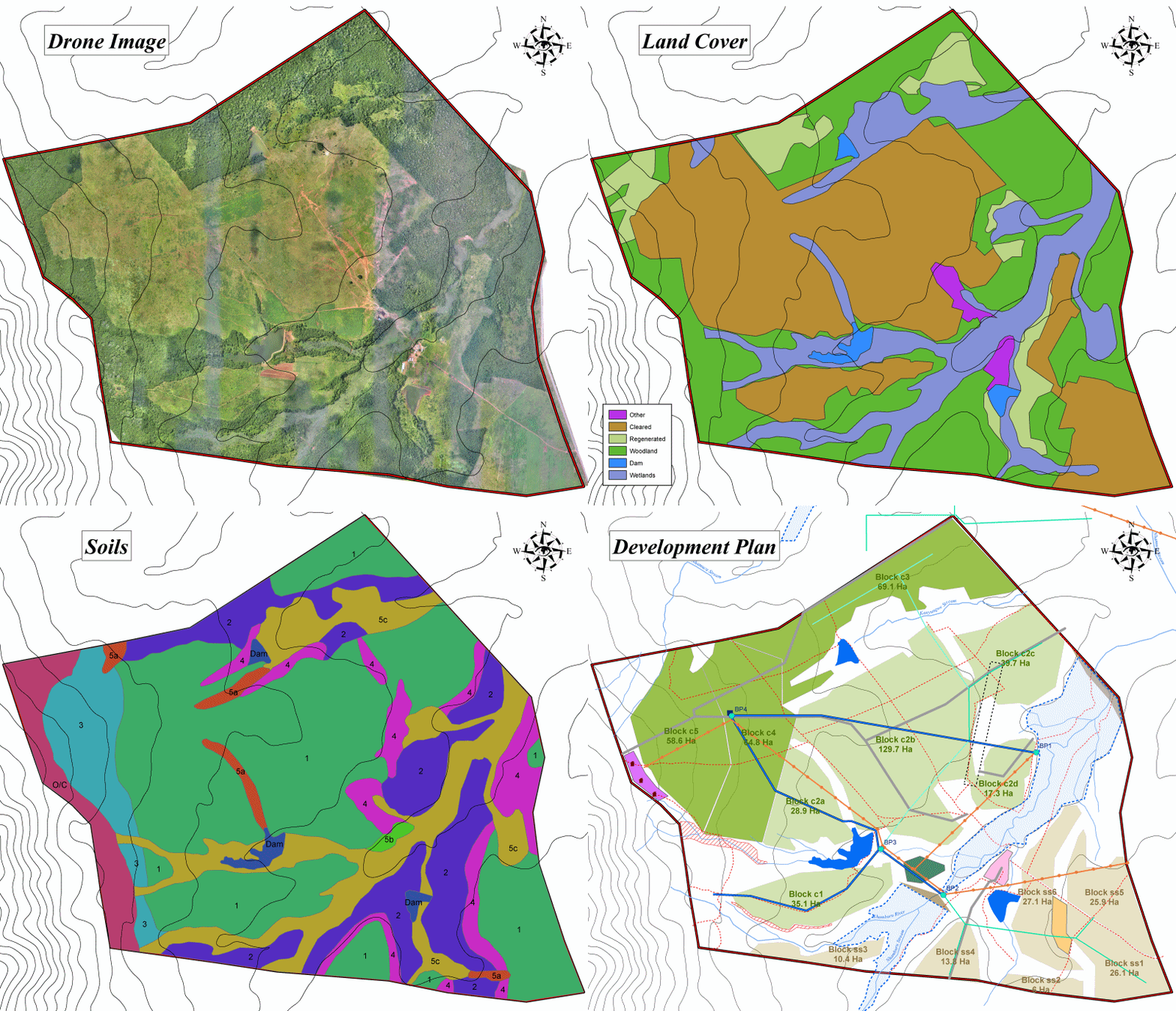
Resource Assessment and Farm Development Planning
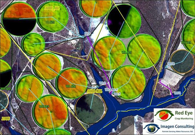
Crop Monitoring
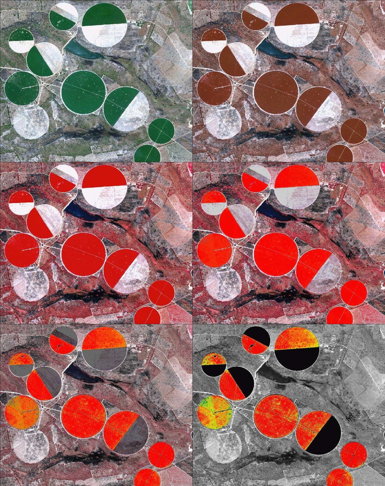
Imagen Consulting uses time series of multispectral imagery through the growing season to monitor crop growth and health. Spatial analysis shows the degree of uniformity across individual fields and gives an indication of expected yields and areas of improvements.
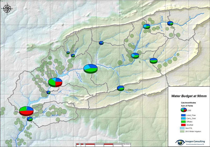
Catchment Modelling
Imagen Consulting can assess catchment-wide water resources and calculate risk of supply failure. Taking a holistic approach, including analysis of water rights, we can detail catchment management strategies to ensure equitable and fair distribution of scarce water resources.
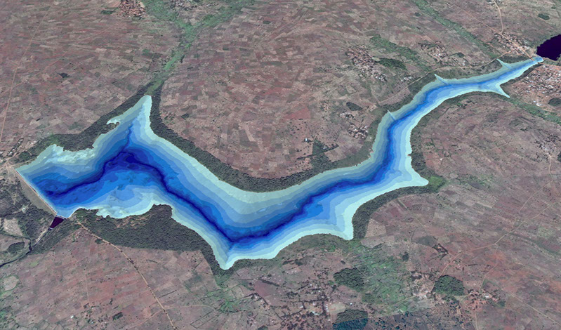
Bathymetric Surveys
Imagen Consulting has undertaken over 40 bathymetric surveys across 5 countries. These range from medium to large agricultural dams, municipal water storage dams and sections of large rivers, for example Pool Malebo on the Congo River and the vicinity of Ngonye Falls on the Zambezi River. These surveys provide a vital step in water resource audits and river bed modelling as well as providing insight into magnitudes of sedimentation.
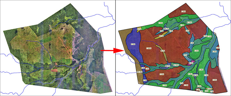
Soil Mapping
Vegetation Monitoring
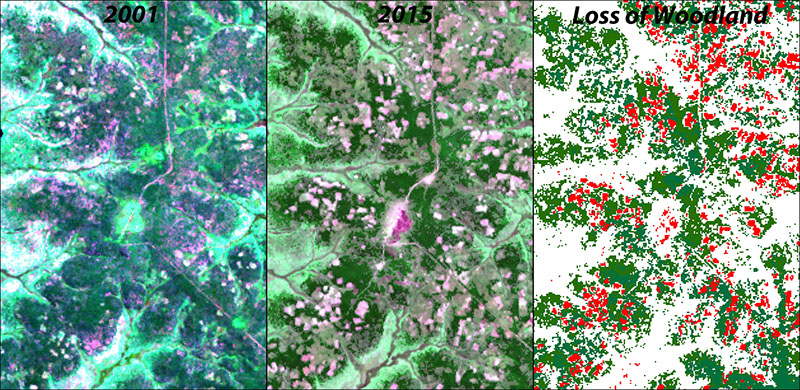
Imagen Consulting uses time series of satellite imagery to assess land-cover change and monitor/quantify deforestation. This provides valuable information for environmental, social and hydrological studies.
High Resolution Imagery
Near Infrared and NDVI
Hydrological Model
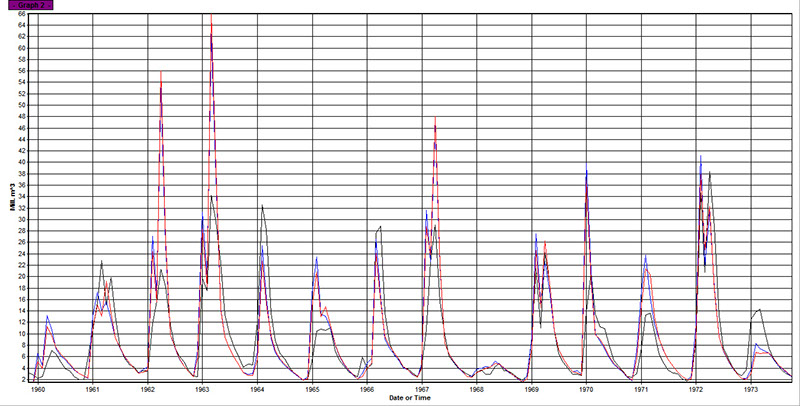
Imagen Consulting uses the Pitman Rainfall-Runoff Model to assess water resources in data-scarce areas and provide meaningful runoff forecasts for potential dam-sites and/or irrigation projects.
8 - 8
<
>